Searoute.NET
1.0.0
Please use the package SeaRoute.Core for better result and optimized solution .
Thanks all.
See the version list below for details.
dotnet add package Searoute.NET --version 1.0.0
NuGet\Install-Package Searoute.NET -Version 1.0.0
<PackageReference Include="Searoute.NET" Version="1.0.0" />
<PackageVersion Include="Searoute.NET" Version="1.0.0" />
<PackageReference Include="Searoute.NET" />
paket add Searoute.NET --version 1.0.0
#r "nuget: Searoute.NET, 1.0.0"
#:package Searoute.NET@1.0.0
#addin nuget:?package=Searoute.NET&version=1.0.0
#tool nuget:?package=Searoute.NET&version=1.0.0
Searoute.js
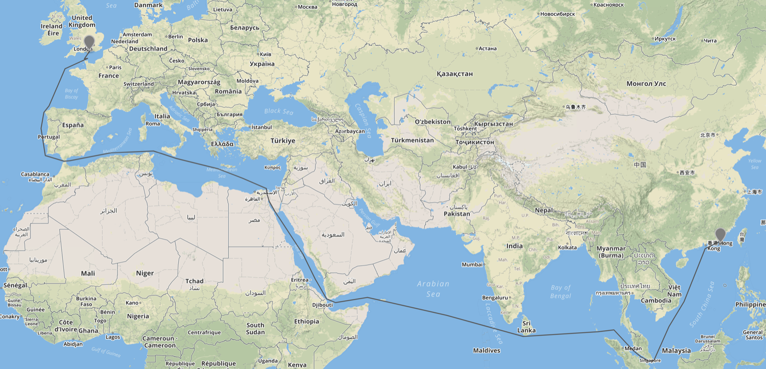
An npm package for generating the shortest sea route between two points on Earth.
If points are on land, the function will attempt to find the nearest point on the sea and calculate the route from there.
Not for routing purposes! This library was developed to generate realistic-looking searoutes for visualizations of maritime routes, not for mariners to route their ships.
Installation
npm install searoute-js
Usage
const searoute = require('searoute-js');

// Define origin and destination GeoJSON points:
var origin = {
  "type": "Feature",
  "properties": {},
  "geometry": {
    "type": "Point",
    "coordinates": [
      132.5390625,
      21.616579336740603
    ]
  }
}

var destination = {
    "type": "Feature",
    "properties": {},
    "geometry": {
      "type": "Point",
      "coordinates": [
        -71.3671875,
        75.05035357407698
      ]
    }
  }


var route = searoute(origin, destination);
// > Returns a GeoJSON LineString Feature

// Optionally, define the units for the length calculation included in the properties object.
// Defaults to nautical miles, can be degrees, radians, miles, or kilometers.
var routeMiles = searoute(origin, destination, "miles");
Author
Developed by Sophia Systems
License
This project is licensed under the Mozilla Public License 2.0 (MPL-2.0).
Credits
Based on Eurostat's Searoute Java library (EUPL-1.2 licensed).
The maritime network data is derived from Eurostat's marnet dataset, which incorporates:
- Oak Ridge National Labs CTA Transportation Network Group, Global Shipping Lane Network (2000)
- Additional European coastal routes based on AIS data (Eurostat)
Dijkstra's algorithm implemented by perliedman/geojson-path-finder.
| Product | Versions Compatible and additional computed target framework versions. |
|---|---|
| .NET | net9.0 is compatible. net9.0-android was computed. net9.0-browser was computed. net9.0-ios was computed. net9.0-maccatalyst was computed. net9.0-macos was computed. net9.0-tvos was computed. net9.0-windows was computed. net10.0 was computed. net10.0-android was computed. net10.0-browser was computed. net10.0-ios was computed. net10.0-maccatalyst was computed. net10.0-macos was computed. net10.0-tvos was computed. net10.0-windows was computed. |
-
net9.0
- NetTopologySuite (>= 2.5.0)
- NetTopologySuite.IO.GeoJSON (>= 4.0.0)
- Newtonsoft.Json (>= 13.0.3)
NuGet packages
This package is not used by any NuGet packages.
GitHub repositories
This package is not used by any popular GitHub repositories.